
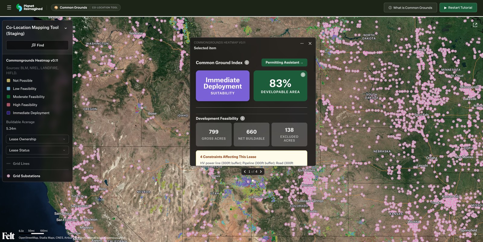
Common Grounds consolidates everything a co-location decision needs — from geospatial and environmental records to financial information and infrastructure maps — into one resource. Click a card to see the datasets behind each layer of the Common Ground Index.
Active Alberta Crown petroleum and natural gas agreements and oil sands agreements. Where agreements overlap, the count is on the parcel.
Rights of way, well commodity, and production status are not in this map.
Slope from a digital terrain model, and photovoltaic potential, define what is physically buildable. Land cover is not in this map.
The Alberta pool price is one provincial price, in Canadian dollars. Distance to transmission and substations comes from mapped lines. Effective load carrying capability is not in this map.
Critical habitat, wetlands, protected areas, and flood hazard that remove land from the buildable footprint. Grazing allotments, hydric soils, pipelines, and contaminated sites are not in this map.
County-level zoning ordinances, setback and height rules, and approval pathways — distilled into a permitting score and surfaced through the Permitting Assistant. Co-location cuts down on the time and paperwork needed to meet regulations.